Make a plan.
Then leave it behind.
Trailnote prepares a practical outdoor trail guide, route, and observation card — so your phone stays in your pocket once your boots hit the dirt. The AI runs on your machine. Place search, routes and weather come from open public services (Nominatim, OSRM, Open-Meteo).
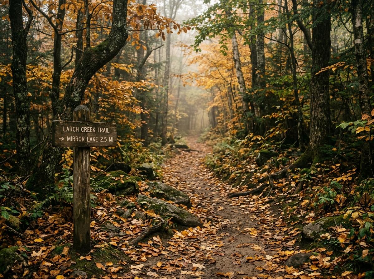
The screen should be the shortest part of the walk.
Most modern apps want you glued to your phone while outside. Trailnote is engineered backwards: prepare your trail in 2 minutes, save a physical field note, and put the device away.
Plan
Tell Trailnote your time, pace, and nature curiosities.
Prepare
Get practical gear checklists and local weather warnings.
Save
Generate a physical Trail Card or store it locally on device.
Leave
Slip your phone into your backpack. Step through the front door.
Explore
Walk with your senses open. Notice bark, leaves, and wind.
Return
Arrive home refreshed with quiet clarity and mud on your shoes.
Reflect
Jot down 2 lines of observations in your personal field journal.
The Trail Card
Instead of a noisy chat feed or endless notifications, Trailnote condenses everything you need into a single, printable naturalist card.
AUTUMN LOOP
Open weights. Local privacy. No chatbot bloat.
We believe AI is most helpful when it gets out of the way. Gemma 2 processes your trail preferences entirely on your machine.
Creative Observation & Adaptation
Gemma interprets terrain nuances, crafts evocative sensory prompts, and adapts the briefing to your fitness level and curiosities.
Mathematical Accuracy
We never ask an LLM to calculate kilometers or elevations. Distances, durations, and coordinates are strictly handled by deterministic code.
No Cellular Needed
Deep woods and valley trails rarely have 5G signals. Your generated trail card is stored directly in your local browser disk.